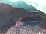
 Today, we’re going back to the ice but we’re not going to move much once we get there. All of the images here were made within 50-feet of each other. The subject is a fairly stable ice cave. I say fairly because it was created by an active creek so there is water flowing into it. The ground is mud, silt, ice, and gravel and is sliding into the cave and under the glacier. The ceiling is made of ice and is full of mud, silt, and gravel and is falling onto the floor. While I was working, some nice ladies stopped in to visit the cave. I used my Fuji to get a set-the-scene snapshot.
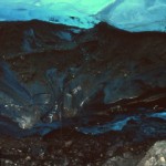
Deep V
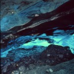
In The Groove
Just inside the cave, the layers of the ice are obvious. The younger ice is above, the older ice is denser and is funneling the melt water out to the edge. The running water has carved a Deep V in the ancient ice. The mud and sand is trapped between the layers of ice and is being washed down and dropped on the floor. When working under the ice, the water running down your back is really mud (of various dilutions).
A little to the right, and closer to the ice, In the Groove better shows the layers in the ice and the sand and silt trapped between them. We can also see melt water pouring in to join the creek farther inside the cave.
Farther in the cave but looking a little up, we can see Below the Surface(BW). There is sand and silt embedded inside the ice, and the layers are evident from the back just as well as the front. (Now’s a good time to wish we had carried a helmet with us. The roof is melting, remember?) Finally, we can move a little farther in and get in close. That sand in there has been trapped in the ice for a couple hundred years. It’s just itching to get out so it can slide down into my camera.
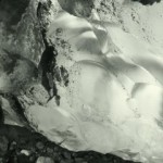
Below the Surface (BW) |
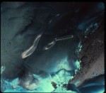
Below the Surface |
All images were created with a tripod mounted TL120-1. I don’t record exposure times but the fastest time used was 1 second. They were shot on Provia 100F, Provia 400X, or Ilford HP5.
 ver. The Lost Pines of Texas near Bastrop are important as they are the westernmost edge of the species’ natural range.